

Credible, relevant data comes first
A sophisticated interface cannot compensate for weak data. Ask what each dataset represents, how it was created, when it was updated and at what geographic level it can be used. National coverage may be important, but so is sufficient local detail for the decisions your business makes.
Relevance matters as much as volume. Retail and property teams may need demographics, income, employment, lifestyle characteristics, shopping centres, stores and other market context. A platform filled with unrelated layers creates choice without clarity. The data should answer practical questions about customer fit, catchment, competition, coverage and opportunity.
Consistency is also essential. Definitions should be documented, updates managed and the same data available across users. This gives a comparison between sites a common basis. Lightstone’s demographic and location data is updated annually and reflects more than 20 years of South African retail expertise, providing a locally grounded foundation for planning.
For more on the data test, see What Makes Location Data Credible and Why It Matters for Your Business.
Analysis should match real location workflows
The platform should do more than display pins. Users need to define a radius or custom polygon, examine what falls inside it, compare areas and understand locations in the context of a wider network. Depending on the use case, they may also need to map catchments, identify gaps, inspect overlap and bring internal business information into the same geographic view.
Look for a clear path from question to answer. Can a user start with a proposed site, identify its likely market, review customer characteristics and surrounding retail, then repeat the same process for an alternative? Can the team save or reproduce the analysis? Are the assumptions visible enough for a colleague to challenge?
Flexibility should not come at the cost of consistency. Specialist users may need more control, while regular property and planning users need repeatable tools for everyday work. A strong platform serves both by making common tasks straightforward and deeper analysis possible when required.
For the geographic foundation behind these tools, read How GIS Helps Businesses Make Smarter Location Decisions.
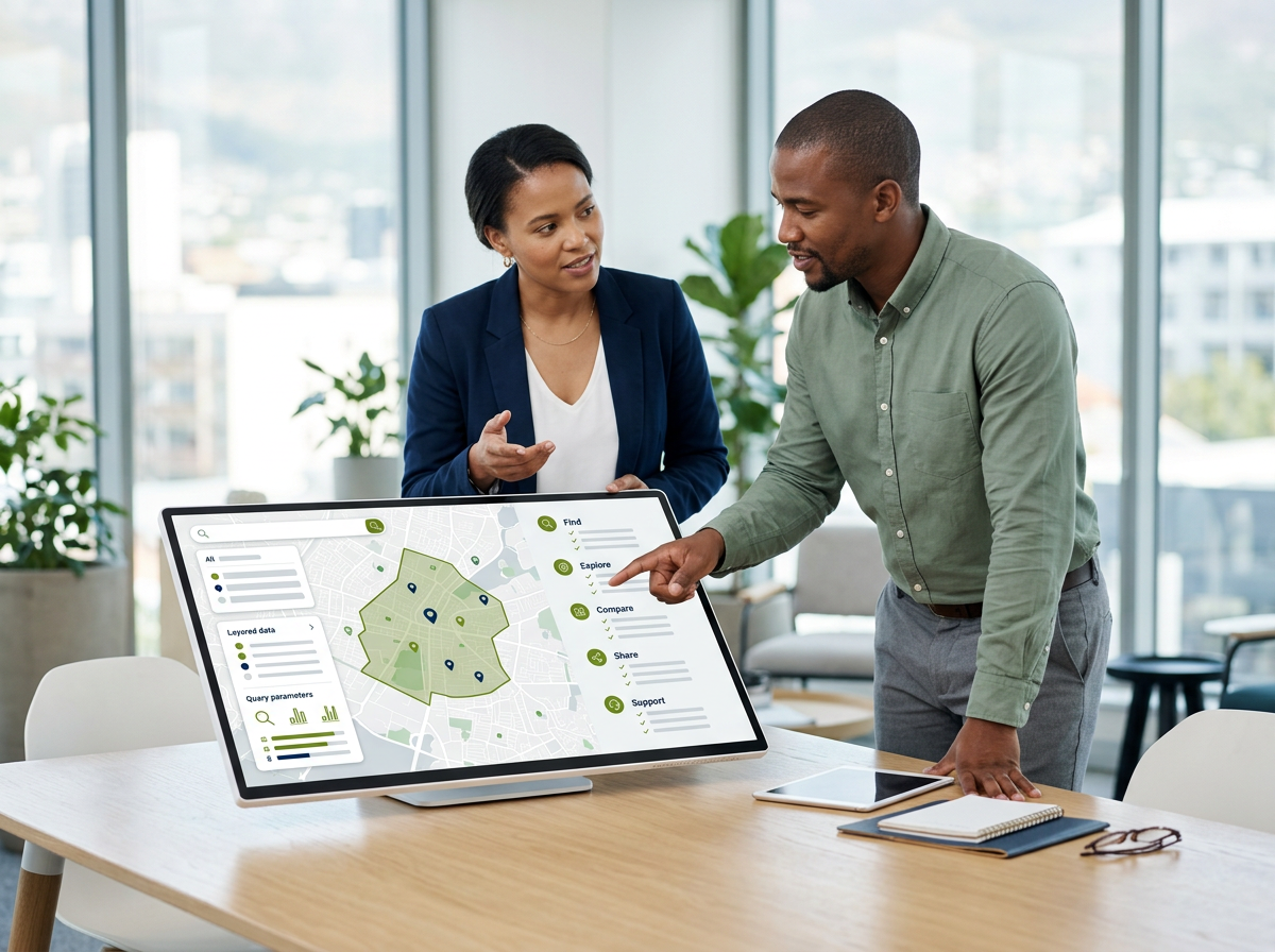
A two-panel evaluation visual. On the left, a clean location-intelligence map with search, layer controls, an editable catchment polygon and a concise query summary. On the right, a checklist grouped under “Find”, “Explore”, “Compare”, “Share” and “Support”, with simple tick icons and no product ratings.
Usability determines whether insight reaches the business
A platform only creates value when people use it. Navigation, search, legends and query tools should be understandable to the intended team. The map should remain readable when relevant layers are combined, and users should be able to move from a national view to a local one without losing context.
Evaluate the complete workflow, not the best-looking screen. Ask a likely user to complete a typical task during the assessment. How quickly can they find a location, define an area, understand the result and prepare something to share? Note where specialist help is genuinely valuable and where the platform introduces avoidable friction.
Training and responsive support are part of usability. Location questions often combine data, geography and commercial judgement. Access to a team that understands the local market can help users apply the platform appropriately rather than simply operate its controls.
The measure of a location intelligence platform is not how much data it can display, but how reliably a team can turn that data into a decision.
Internal data and business-ready outputs complete the loop
External market context becomes more useful when it can be viewed alongside store performance, customer, asset or pipeline information. Ask how internal datasets are added, matched to locations and kept appropriately controlled. The aim is a single planning view, not another disconnected system.
Then consider what happens after the analysis. Decision-makers may not work in the platform, so teams need a clear way to present the selected area, the relevant indicators and the conclusion. Screenshots and data exports have a role, but a standardised report creates a more consistent basis for comparison and stakeholder review.
LEO is Lightstone’s interactive geospatial platform for South African location decisions. It brings map-based visualisation and data querying together, includes a mapped landscape of more than 1,900 malls and 60,000 stores, and supports the visualisation of internal business data alongside Lightstone layers. Its Market Report provides the complementary business-ready output for any selected radius or polygon in minutes.
Questions to ask before choosing a platform
- Is the data credible, current, documented and relevant to our market?
- Does the geographic detail match the decisions we need to make?
- Can users define, query and compare realistic areas consistently?
- Can we view internal business data with external location context?
- Is the everyday workflow usable for the people who will perform it?
- Can findings be reproduced, challenged and shared in a clear output?
- Does the provider offer training and support grounded in our use cases?
- Will the platform scale from individual sites to network-level planning?

Evaluate LEO against a decision your team faces now
The most useful platform assessment uses a real question rather than a generic demonstration. Choose a current site, network or market challenge and see whether the workflow helps your team reach a clearer view.
Talk to the Lightstone Explore team about your use case. We can show how LEO supports interactive analysis and how the Market Report turns the selected area into a structured output for colleagues, clients or decision committees.
Choose for adoption, credibility and action
A good location intelligence platform combines trusted data with practical analysis, accessible workflows and outputs the wider business can use. It should make common questions easier without hiding the assumptions that shape the answer.
Features matter, but fit matters more. When the data reflects the market, the tools reflect the workflow and users can communicate what they find, location intelligence becomes part of everyday planning rather than a map that only appears for special projects.