About
Lightstone Explore
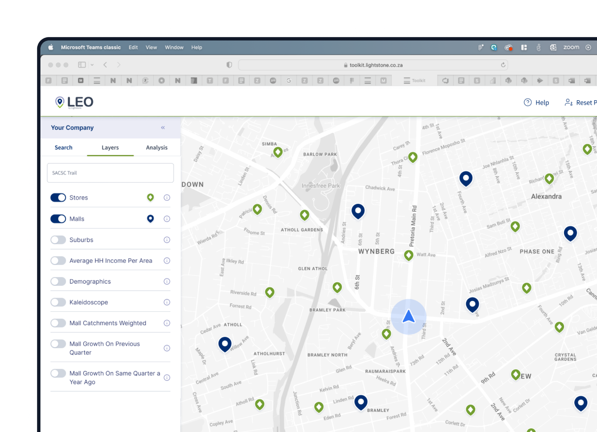
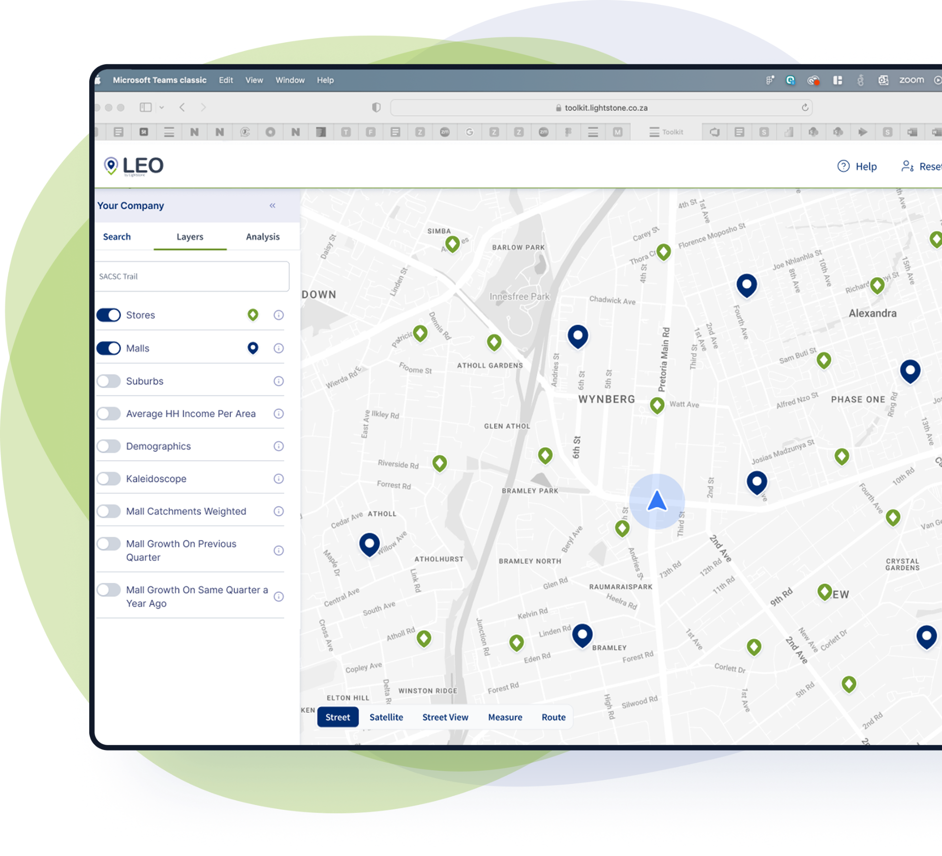
LEO is Lightstone Retail's location intelligence platform, built to help businesses visualise data on a map, query underlying information and make smarter location decisions. It is designed for teams that need clearer market visibility when planning growth, reviewing existing locations or exploring new opportunities.
Trusted by Location Professionals

Backed by South Africa's most
trusted retail data
LEO is built on datasets that South Africa's leading retailers, banks and insurers have relied on for over 20 years to make high-stakes decisions. Lightstone's proprietary data covers the full SA retail landscape, from 1,900+ malls and 60,000+ stores to vehicle movement data tracking millions of trips daily and demographic profiles updated annually at the most granular level available in the country. That data foundation is what makes LEO more than a mapping tool - it is why teams use it to build recommendations they can genuinely stand behind.
The people behind LEO
LEO is supported by a team focused on helping businesses make smarter location decisions. From product thinking and data insight to client support and strategy, the team behind LEO is committed to turning location intelligence into practical business value.

Mohit Narotam
Managing Director
Mohit took an existing Lightstone property business, combined it with Sawubona, his consumer insights venture, and built something more powerful than…

Tamaryn Shalom
Head of Product and Innovation
Tamaryn has spent 18 years in data, media and technology with one belief at the centre of it all: credible data, translated into clear insight, change…

Kim Peace
Senior Data Scientist
Kim leads our analytics team and has spent over 20 years finding things in spatial data that most people do not think to look for. She works with big retail b…
Location Intelligence
Made Practical
At its core, LEO is a GIS platform. It allows businesses to place data on a map, visualise it, and gain insight not only from what they can see, but also from the ability to query the underlying data in an area. That combination makes it useful for businesses that need more than a static view of a location.